Default image for pages

CKHG Unit 1: Using Maps


NOTE: The resources for this unit are in the first part of Exploring Maps and World Mountains.


Focus:
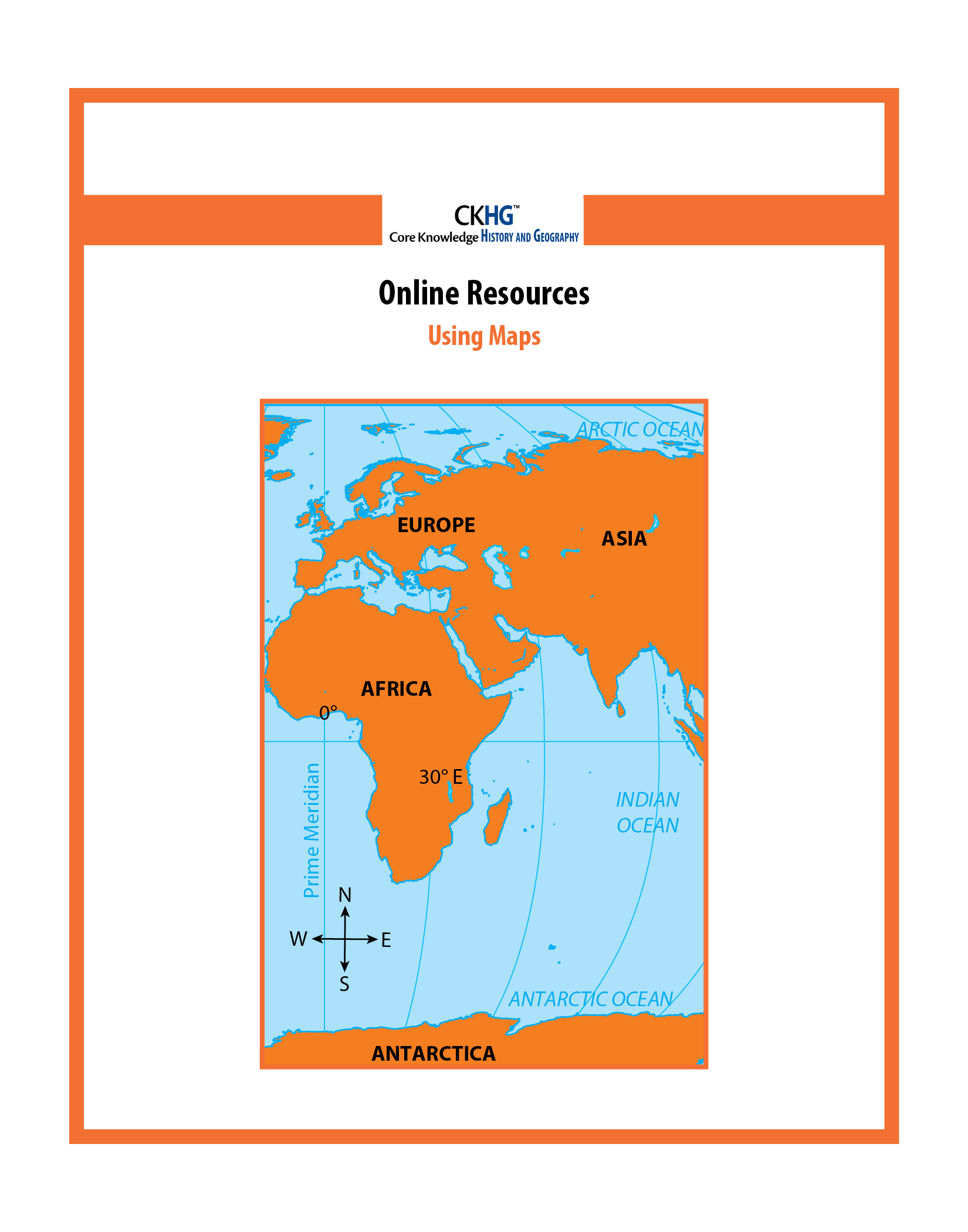
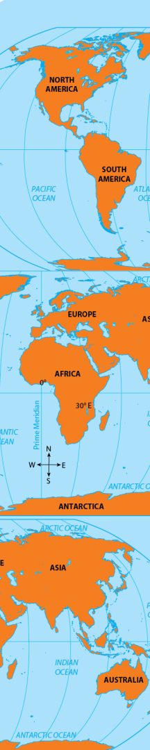
This unit provides information and activities to help students use maps and globes effectively. Students learn geographical terms and how to use map symbols, keys, and map scales. They are introduced to longitude and latitude along with using coordinates and degrees to find a specific location. Students also learn about time zones, maps depicting elevation and depression, and the relationship between a three-dimensional globe and a “flat” map.

 Number of Lessons: 5

Instruction Time:
45 minutes (Each lesson may be divided into shorter segments.)

Additional Search Terms:
social studies • geography • map skills • nonfiction • informational text

History & Geography Grade 4 English

Individual Resources

This is the default image
CKHG Unit 1: Using Maps STUDENT READER

CKHG Student Readers offer engagingly written and richly illustrated text on the topics specified for the unit. Each volume includes maps, color illustrations, vocabulary sidebars, and a glossary. In general, the content and presentation in CKHG Student Readers for Grades 3–5 are appropriate for young readers from the upper elementary grades through middle school.

This is the default image
CKHG Unit 1: Using Maps TEACHER GUIDE

The Teacher Guide provides detailed lesson plans for each Student Reader chapter, as well as activity page masters, assessments, additional activities (such as virtual field trips, simulations, or literary selections), and civics and arts connections to reinforce the lesson content.

This is the default image
CKHG Unit 1: Using Maps ONLINE RESOURCES

ONLINE RESOURCES The Online Resources support lessons and activities within the Teacher Guide.