
CKSci Unit 3: Exploring Land and Water
Focus: In this unit, students explore the phenomena of different landforms to gather evidence of how Earth events change Earth’s surface. The unit builds on student understandings about changing environments and weather patterns from the Kindergarten Performance Expectation K-ESS2-2, in which students explore how plants and animals change the environment. The unit also develops new understanding of Performance Expectation K-PS3-1, in which they learn about weather patterns and the effects of wind and water on land. Students explore concepts that include the following:
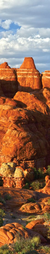
- Hills, mountains, valleys, rock arches, plains, geysers, volcanoes, sand dunes, and beaches are types of landforms.
- Landforms can be created quickly or slowly.
- Quick changes to landforms include rockslides, landslides, mudslides, floods, earthquakes, and volcanic eruptions.
- Wind and water can erode rock, sand dunes, and beaches.
- There are different solutions to prevent water from changing the shape of rock and to prevent sand erosion.
- Glaciers are frozen forms of water.
- Flowing water moves earth materials.
- Maps are used to help locate things in nature.
- The land and water features of an area can be modeled.
- Water soaks into the ground.
- Geysers and volcanoes bring underground materials to Earth’s surface.
- Sand landforms include dunes and beaches.
- Sand dunes and beaches are formed in different ways.
- Each Lesson may be divided into Lesson Segments.
- Each Lesson Segment is designed to be completed in one 30–45-minute class period.
- Some single-day activities and performance tasks might require setting aside a longer block of time.
- This Unit should be completed between 27–41 classroom days.
- A Pacing Guide Template is provided within the Teacher Guide so teachers can map out customized instructional days for this unit.
- A complete list of Materials needed to complete the unit is provided in Online Resources.


