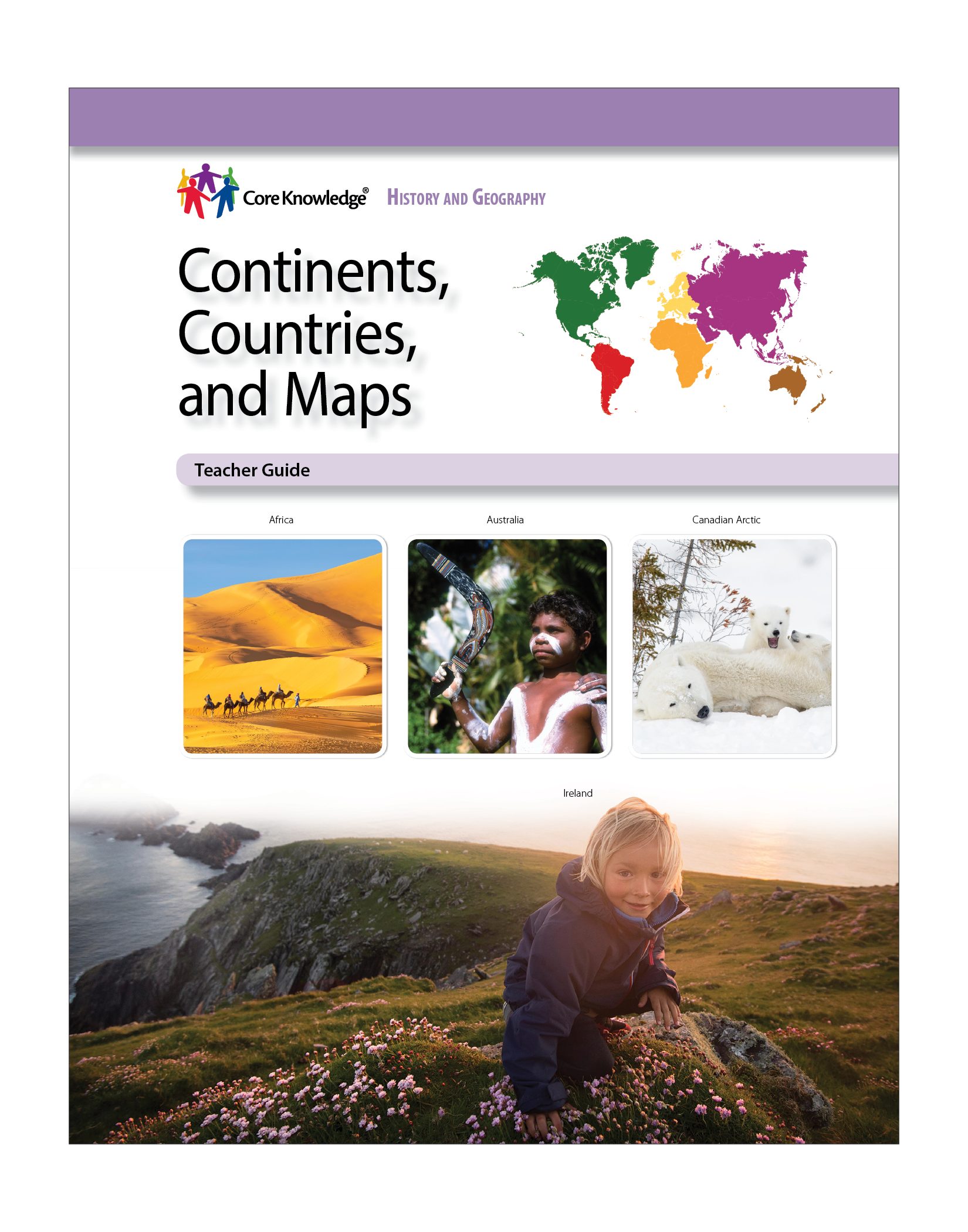
CKHG Unit 1: Continents, Countries, and Maps
Focus:
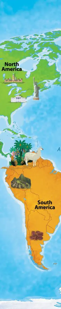
How do we find our way around the world? In this Grade 1 CKHG unit, Continents, Countries, and Maps, students use their newfound map skills to discover our world and their place in it. The unit begins by exploring maps, looking at different types of maps and how to read them. Students then travel across the seven continents and the four oceans, beginning with North America and the many different landscapes of the United States—its cities, coastlines, mountains, and farmlands. Then they continue their North American journey to Canada, where they make a stop in the icy Canadian Arctic. Their North American trip next takes a southern turn, and students explore the geography of Mexico, its thirty-one states, its capital–Mexico City—and its celebratory culture. The final stops in North America are Central America—its rainforests, volcanoes, beaches, and farms—and the West Indies.
Students then journey to South America, where they learn about the twelve countries of this diverse continent and pay a special visit to the Amazon—its great river and monumental rainforest, the indigenous people of the area, and the many different types of plants and animals that flourish there. After a brief visit to the Andes Mountains and Machu Picchu, students leave South America and head to their next destination: Europe!
A whirlwind tour takes students to Austria, Ireland, Russia, and the beautiful cities and historic landmarks of the second smallest continent. Paris and the Eiffel Tower, London and Big Ben, Athens and the Acropolis, and Rome and its ancient Colosseum are all explored before students continue to the second largest continent, Africa. Fifty-four countries, over a thousand languages, the longest river and the tallest animal in the world, along with bustling modern cities, are all part of their African experience.
Where to next? Asia! The largest continent, Asia is also the most populated. Enormous, crowded cities, pandas, cherry blossoms, and the world’s highest mountain, Mount Everest—Asia is a land of extremes. Then, students travel from the largest continent to the smallest, Australia, where students discover the Outback and the Great Barrier Reef, and learn about kangaroos and koalas. Finally, they head off on an adventure to Antarctica, the coldest continent, where students finish their trek across the world with a penguin!
The seven chapters of Continents, Countries, and Maps are filled with examples of how different are the people, wildlife, and landscapes across our wonderful world. The last pages are full of fun facts about Earth, its continents and oceans.
Number of Lessons: 7
Instruction Time:
We have intentionally left the pacing and timing needed to teach the content presented in the Teacher Guide and Student Book very flexible. Teachers can choose how much they read aloud and discuss in a single instructional period, as well as how often each week they use the CKHG materials.
Additional Search Terms:
social studies • geography • nonfiction • informational text • map key • symbols • compass rose • equator • hemisphere • Puerto Rico • Virgin Islands• Caribbean • Washington, D.C. • New England • Midwest • Great Plains • Pacific Ocean • Ottawa • Inuit • Puerto Rico • Kayapo • Ojos del Salado • Russia • Vatican City • Ireland • Austria • Volga River • Lake Ladoga • Roman Colosseum • Algeria • Seychelles • Luxor • Nile River • Cape Town • Mount Kilimanjaro • The Maldives • Caspian Sea • China • Japan • Udaipur • Canberra • Aboriginal people